File:Munster locator map.svg
Vai alla navigazione
Vai alla ricerca

Dimensioni di questa anteprima PNG per questo file SVG: 459 × 599 pixel. Altre risoluzioni: 184 × 240 pixel | 368 × 480 pixel | 589 × 768 pixel | 785 × 1 024 pixel | 1 570 × 2 048 pixel | 1 264 × 1 649 pixel.
File originale (file in formato SVG, dimensioni nominali 1 264 × 1 649 pixel, dimensione del file: 592 KB)
| Questo file e la sua pagina di descrizione (discussione · modifica) si trovano su Wikimedia Commons (?) |
Dettagli
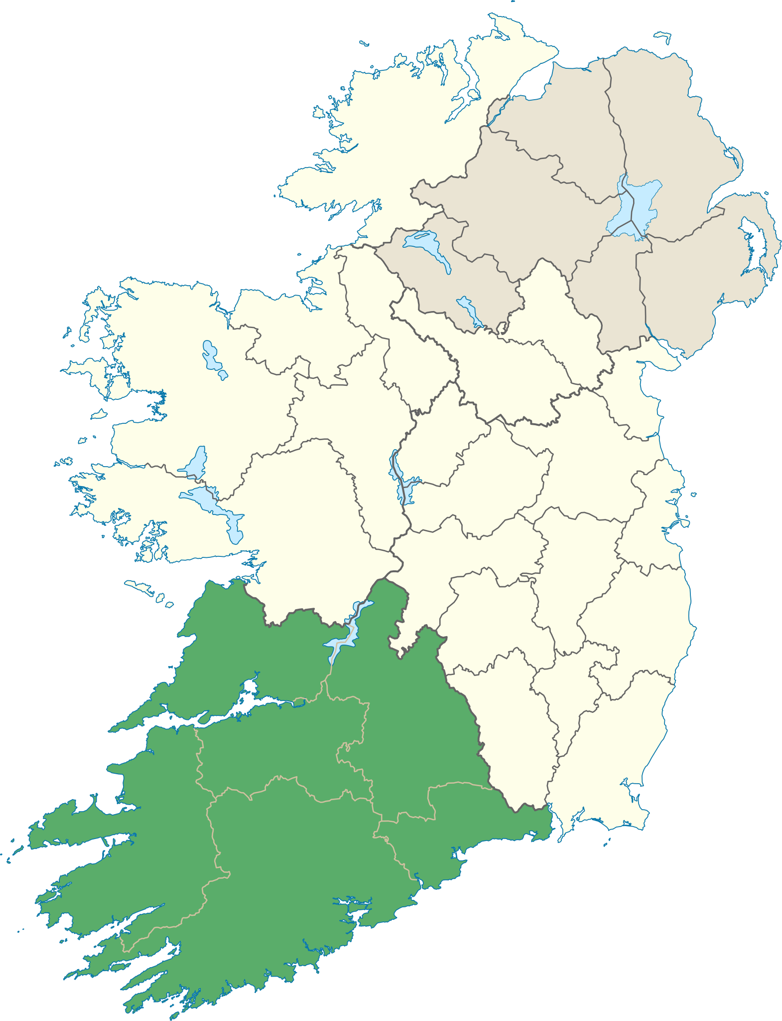
| Descrizione | Locator map of Munster. |
| Data | (UTC) |
| Fonte | |
| Autore |
|
Licenza
Io, detentore del copyright su quest'opera, dichiaro di pubblicarla con la seguente licenza:
Questo file è disponibile in base alla licenza Creative Commons Attribuzione-Condividi allo stesso modo 3.0 Unported
- Tu sei libero:
- di condividere – di copiare, distribuire e trasmettere quest'opera
- di modificare – di adattare l'opera
- Alle seguenti condizioni:
- attribuzione – Devi fornire i crediti appropriati, un collegamento alla licenza e indicare se sono state apportate modifiche. Puoi farlo in qualsiasi modo ragionevole, ma non in alcun modo che suggerisca che il licenziante approvi te o il tuo uso.
- condividi allo stesso modo – Se remixi, trasformi o sviluppi il materiale, devi distribuire i tuoi contributi in base alla stessa licenza o compatibile all'originale.
Cronologia del file
Fare clic su un gruppo data/ora per vedere il file come si presentava nel momento indicato.
| Data/Ora | Miniatura | Dimensioni | Utente | Commento | |
|---|---|---|---|---|---|
| attuale | 16:25, 8 giu 2013 | | 1 264 × 1 649 (592 KB) | Setanta Saki | correcting aran islands not part of munster |
| 21:47, 7 gen 2012 |  | 1 450 × 1 807 (687 KB) | NikNaks | Removing modern boundaries | |
| 20:16, 7 gen 2012 |  | 1 450 × 1 807 (707 KB) | NikNaks | Updating to new map | |
| 19:53, 7 gen 2012 |  | 400 × 500 (281 KB) | NikNaks93 | == {{int:filedesc}} == {{Information |Description=Locator map of Munster. |Source=*File:Ireland_trad_counties_named.svg |Date=2012-01-07 17:50 (UTC) |Author=*File:Ireland_trad_counties_named.svg: *[[:File:Population_density_of_Ireland_map2002. |
Pagine che usano questo file
La seguente pagina usa questo file:
Utilizzo globale del file
Anche i seguenti wiki usano questo file:
- Usato nelle seguenti pagine di be.wikipedia.org:
- Usato nelle seguenti pagine di cs.wikipedia.org:
- Usato nelle seguenti pagine di da.wikipedia.org:
- Usato nelle seguenti pagine di en.wikipedia.org:
- Munster
- MacGillycuddy's Reeks
- List of Ireland-related topics
- Carrauntoohil
- Lists of mountains in Ireland
- Silvermine Mountains
- Mount Brandon
- Slievecallan
- Sugarloaf (County Cork)
- Hungry Hill
- Mullaghareirk Mountains
- Galtymore
- Slievenamon
- Shehy Mountains
- Caha Mountains
- Knockmealdown Mountains
- Ballyhoura Mountains
- An Triúr Deirféar
- Knockmealdown
- Sugarloaf Hill (Knockmealdowns)
- Torc Mountain
- Mullaghanish
- Devil's Bit
- Knockboy
- Mountains of the Central Dingle Peninsula
- Purple Mountain (Kerry)
- Mullaghmore, County Clare
- Slieve Mish Mountains
- Slieve Miskish Mountains
- Mangerton Mountain
- Cnoc na Péiste
- Baurtregaum
- Fauscoum
- Keeper Hill
- Seefin (Ballyhoura Mountains)
- Carron Mountain
- Knockoura
- Boggeragh Mountains
- Comeragh Mountains
- Slieve Aughty
- Geokaun
- Bentee
- Derrynasaggart Mountains
- Mount Gabriel
- Croughaun Hill
- Caherconree
- Temple Hill (Ireland)
Visualizza l'utilizzo globale di questo file.