File proveniente da Wikimedia Commons. Clicca per visitare la pagina originale

File:Natal province - descriptive guide and official hand-book (1911) (14573649680).jpg

Da Wikipedia, l'enciclopedia libera.
Vai alla navigazione Vai alla ricerca

File originale(2 678 × 1 372 pixel, dimensione del file: 421 KB, tipo MIME: image/jpeg)

Logo di Commons
Logo di Commons
Questo file e la sua pagina di descrizione (discussione · modifica) si trovano su Wikimedia Commons (?)

Dettagli

Descrizione
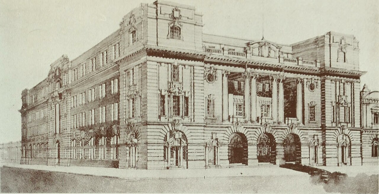
English: Post Office, Pretoria

Identifier: natalprovincedes00tatl (find matches)
Title: Natal province : descriptive guide and official hand-book
Year: 1911 (1910s)
Authors: Tatlow, A.H South African Railways. Publicity Dept
Subjects: Railroads
Publisher: Durban, Natal : South African Railways Printing Works
Contributing Library: Robarts - University of Toronto
Digitizing Sponsor: University of Toronto

View Book Page: Book Viewer
About This Book: Catalog Entry
View All Images: All Images From Book
Click here to view book online to see this illustration in context in a browseable online version of this book.

Text Appearing Before Image:
Proposed Museum, Pretoria Concerning the Transvaal The Transvaal Province lies between the 22nd and 28th parallel of South latitude, and the 25th and 32nd degrees of East longitude. The area of the country is 113,642 square miles. The population in 1899 was 167,150 men, 122,350 women — a total of 289,500 whites, and 589,126 natives; and in 1904 299,327 whites, and 969,389 natives including men and women. The southern portion of the Province is traversed from west to east by a high plateau, which forms the watershed between the rivers running south and those running north, of which the chief are the Vaal and the Limpopo. Besides this plateau, called the Hooge Veld, there are three mountain ranges which cross the country from west to east, of which the most northerly is called the Zoutpansberg, in the district of the same name. Detached ranges, which are continuations of the Drakensberg, extend from the Natal boundary across the Olifants River as far as the Limpopo, the northern limit of the
Text Appearing After Image:
Post Office, Pretoria Transvaal, and these rise in places to some 7,000 feet. Owing to the elevation of the country, which is over 4,000 feet above the sea, the climate is healthy, the winter being especially bracing. This season extends from April to August, and is generally dry. The monthly mean temperature during the summer ranges from 65 to 73 degrees, and during the winter from 59 to 65 degrees. The country is well-watered, as in the Orange Free State it is supplied with numerous pans and lakelets, the largest of which is Lake Chrissie, 36 miles in circumference. Horses, cattle, and sheep thrive well, and in the middle and northern parts of the Province vegetation is luxuriant, and many extensive forests occur.

Note About Images

Please note that these images are extracted from scanned page images that may have been digitally enhanced for readability - coloration and appearance of these illustrations may not perfectly resemble the original work.
Data
Fonte

https://www.flickr.com/photos/internetarchivebookimages/14573649680/

Autore Internet Archive Book Images
Licenza
(Riusare questo file)
At the time of upload, the image license was automatically confirmed using the Flickr API. For more information see Flickr API detail.
Flickr tags
InfoField
  • bookid:natalprovincedes00tatl
  • bookyear:1911
  • bookdecade:1910
  • bookcentury:1900
  • bookauthor:Tatlow__A_H
  • bookauthor:South_African_Railways__Publicity_Dept
  • booksubject:Railroads
  • bookpublisher:Durban__Natal___South_African_Railways_Printing_Works
  • bookcontributor:Robarts___University_of_Toronto
  • booksponsor:University_of_Toronto
  • bookleafnumber:248
  • bookcollection:robarts
  • bookcollection:toronto
Flickr posted date
InfoField
27 luglio 2014


Licenza

Questa immagine è stata prelevata dal sito web The Commons di Flickr. L'organizzazione che l'ha caricata su quel sito ha indicato "nessuna restrizione nota sul diritto d'autore" in quanto è applicabile una o più delle seguenti motivazioni:
  1. Il diritto d'autore è di dominio pubblico in quanto già scaduto;
  2. Il diritto d'autore è diventato di dominio pubblico per altri motivi, come il mancato rispetto delle formalità o condizioni richieste;
  3. L'istituto possiede il diritto d'autore ma non è interessato a esercitarne il controllo; oppure
  4. L'istituto possiede tutti i diritti legali necessari per autorizzare gli altri a usare il proprio lavoro senza restrizioni.

All'indirizzo https://flickr.com/commons/usage/ è possibile trovare ulteriori informazioni.


Per favore, aggiungi altri tag di copyright se esistono informazioni più specifiche circa lo status del copyright dell'immagine. Vedi Commons:Licenze per maggiori informazioni.
Questa immagine è stata originariamente caricata su Flickr da Internet Archive Book Images all'indirizzo https://flickr.com/photos/126377022@N07/14573649680. È stata controllata in data 8 ottobre 2015 dal robot FlickreviewR ed è stato confermato il suo rilascio sotto i termini della licenza No known copyright restrictions.

8 ottobre 2015

Didascalie

Aggiungi una brevissima spiegazione di ciò che questo file rappresenta

Elementi ritratti in questo file

raffigura

image/jpeg

Cronologia del file

Fare clic su un gruppo data/ora per vedere il file come si presentava nel momento indicato.

Data/OraMiniaturaDimensioniUtenteCommento
attuale20:13, 8 ott 2015Miniatura della versione delle 20:13, 8 ott 20152 678 × 1 372 (421 KB)== {{int:filedesc}} == {{information |description={{en|1=<br> '''Identifier''': natalprovincedes00tatl ([https://commons.wikimedia.org/w/index.php?title=Special%3ASearch&profile=default&fulltext=Search&search=insource%3A%2Fnatalprovincedes00tatl%2F fin...

La seguente pagina usa questo file:

Utilizzo globale del file

Anche i seguenti wiki usano questo file: